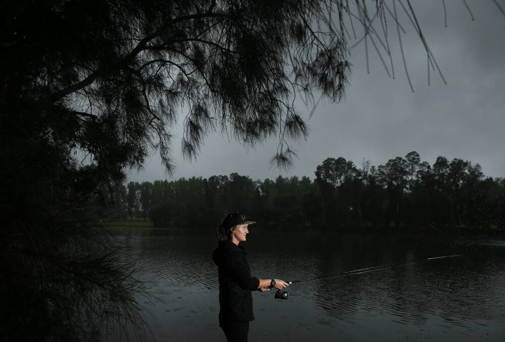
The NSW Department of Primary Industries has launched a new online map that provides recreational fishers with thousands of river, stream and lake locations that can be accessed legally for fishing.
Subscribe now for unlimited access.
$0/
(min cost $0)
or signup to continue reading
St Philip's Wetland on the Tomaree Peninsula, Campvale Drain at Medowie and the Williams River around Seaham are some of the Port Stephens locations DPI has listed on its Angler Access website, complete with general site information, fishing season, any entry fees and disability access.
"Finding a new spot to fish is now at the fingertips of any angler with a smartphone and network coverage," said Jim Harnwell, DPI's Program Leader Stocking and Fisheries Enhancement Operations.
"No need to worry about getting lost while searching for a new spot, as the Angler Access map gives you Google map directions to each fishing spot and the ability to download maps for when you are in an area with no mobile service.
"This online map service is a game changer for our recreational fishing sector and is yet another great example of fishers' fishing fees at work."
Mr Harnwell said DPI has worked "tirelessly" with stakeholders, including the NSW Council of Freshwater Anglers, during the past six months to finetune the site and ensure it is user friendly and informative for the general recreational fishing community.
Angler Access provides recreational fishers with an easy-to-use map that shows more than 4000 verified sites across NSW to fish for native species including Murray cod, golden perch, Australian bass and other freshwater sportfish such as brown and rainbow trout.
Mr. Harnwell said the Angler Access map makes it easy to discover fishing spots by allowing anglers to search by species, reserve type, recommended vehicle for access and even suitability for disabled access.
"Over coming months, even more sites will be added to the access map, providing recreational fishers with additional opportunities to explore new and exciting opportunities across our great State," he said.
"Identifying these fishing spots and securing them for current and future generations is not only extremely beneficial for recreational fishers, but also for the regional businesses that rely on fishing tourism.
"Anglers are reminded when discovering a new fishing spot to always respect private property and obey the fishing rules."
For more information about Angler Access and recreational fishing in NSW visit dpi.nsw.gov.au.
In other news
Our journalists work hard to provide local, up-to-date news to the community. This is how you can access our trusted content:
- Bookmark www.portstephensexaminer.com.au
- Follow us on Instagram @psexaminer
- Follow us on Twitter @PortExaminer
- Follow the Port Stephens Examiner on Facebook

